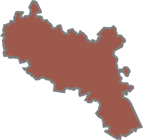
The Free State is one of the nine provinces of South Africa, located in centre of the country. It represents 10.6% of the total land area of the country.
It boasts with wide horizons, blue skies, mountains, and goldfields. The province covers an area of 129 464 km2 and is roughly the size of Nicaragua.
In 2011, the province had a population of 2.7 million with four district municipalities and one metropolitan municipality. The Free State is situated on the flat, boundless plains in the centre of South Africa.
It borders most of the other provinces, the exceptions being Limpopo and the Western Cape. To the east, it has an international boundary with Lesotho nestling in the hollow of its beanlike shape, and the escarpment separates it from the Eastern Cape and KwaZulu-Natal. The Orange and Vaal rivers form the southern, western, and most of the northern border and the last section of the northeastern boundary is formed by the Klip River.
The western part of the Free State consists of plains, with pans as the primary hydrological feature. The eastern part is mountainous. The Maluti Mountains along the border are connected to the Drakensberg on the border with KwaZulu-Natal. The province consists mainly of grasslands with some Karoo vegetation in the south.
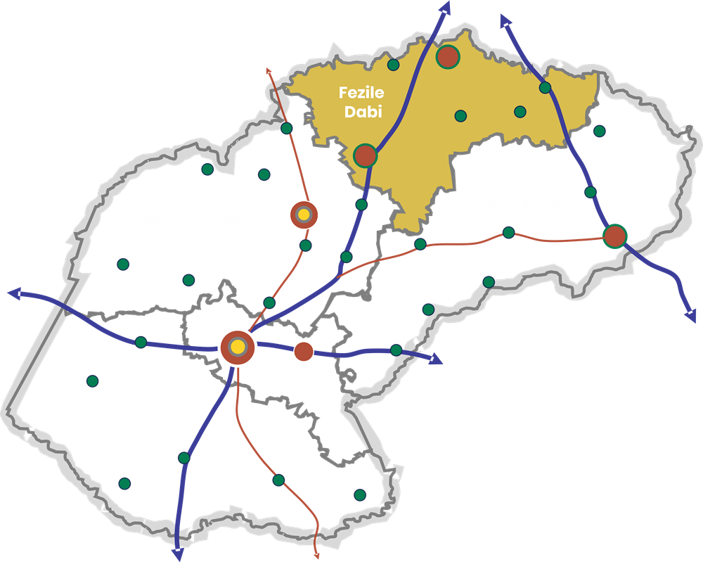
The Fezile Dabi District is an important agricultural production area, mainly maize. The Vaal Dam is the main source of water and offers a wide variety of leisure facilities. Other attractions include the Vredefort Dome, which is the third largest meteorite site in the world, and San paintings. Sasolburg is the location of the country’s largest chemical and synthetic fuel plant.
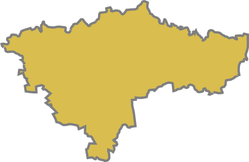
The Lejweleputswa District boasts goldfields, and it is a major agricultural area. The district forms part of the larger Witwatersrand basin. The first gold was discovered in the early 1940s. Bothaville is one of the important maize centres in the country. The annual National Maize Production Organisation festival attracts more than 70,000 visitors and is the second-largest private show in the world.
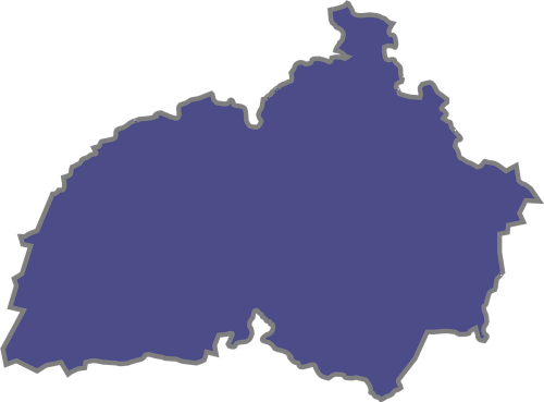
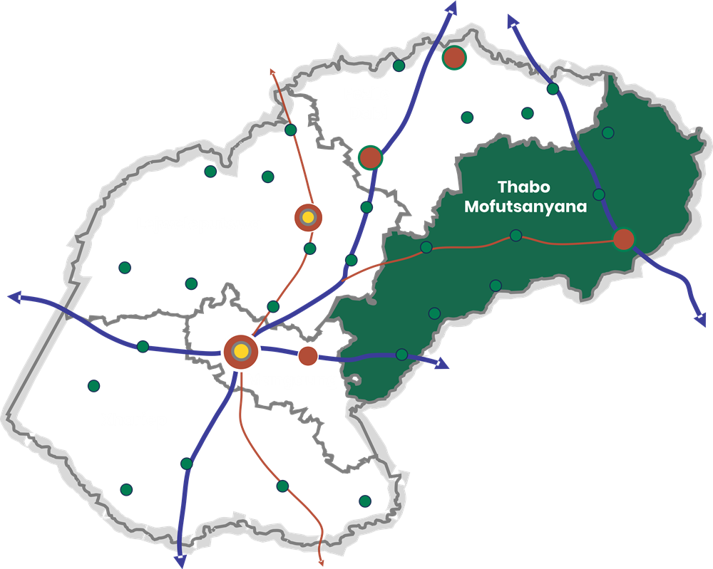
The Thabo Mofutsanyana District borders Lesotho to the east and has beautiful hills and fruit farms. The district is one of the most important tourist destinations due to the spectacular scenic beauty of the Drakensberg and Maluti mountain ranges. Other attractions include the Golden Gate Highland Park, the annual cherry festival at Ficksburg, a Basotho cultural village in Maluti-a-Phofung, and Khoisan rock paintings.
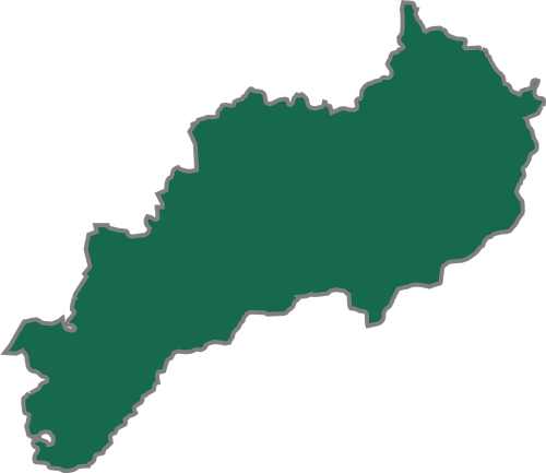
The Xhariep District is situated in the south-west of the province and is a semi-arid area with extensive farming, mainly sheep. The district comprises open grasslands with small widely dispersed towns. The Xhariep Dam is one of the tourist attractions. It offers a variety of leisure facilities.
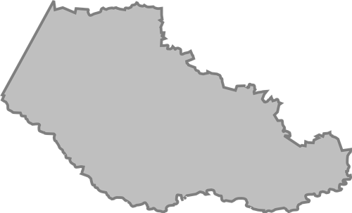

The Mangaung Metropolitan Municipality contains the largest population and is comprised mainly of open grassland, with mountains in the most eastern region. The main urban centre is Bloemfontein. The city is the trade and administrative hub of the Free State and boasts the provincial government and the seat of the Appeal Court of South Africa. It also has a rich history, which includes the establishment of the African National Congress in 1912 and the National Party in 1914.
